

The trilogy I’m working on is historical fiction. I now have the first two books on Amazon and have just started writing the third.
I’ve made too many mistakes along the road to publishing, promoting and marketing my books to talk about – and I still have a long way to go to do things effectively. I won’t go on about my bungled start because I did a post about it earlier on: here
One of the things I didn’t do regarding the actual books was to add a couple of much-needed maps to the beginning of each. And it’s not that I didn’t know they were needed! I just didn’t know how to do them, and I didn’t have Photoshop. When a couple of reviewers said that maps would have been useful, I knew it was time to so something about it.
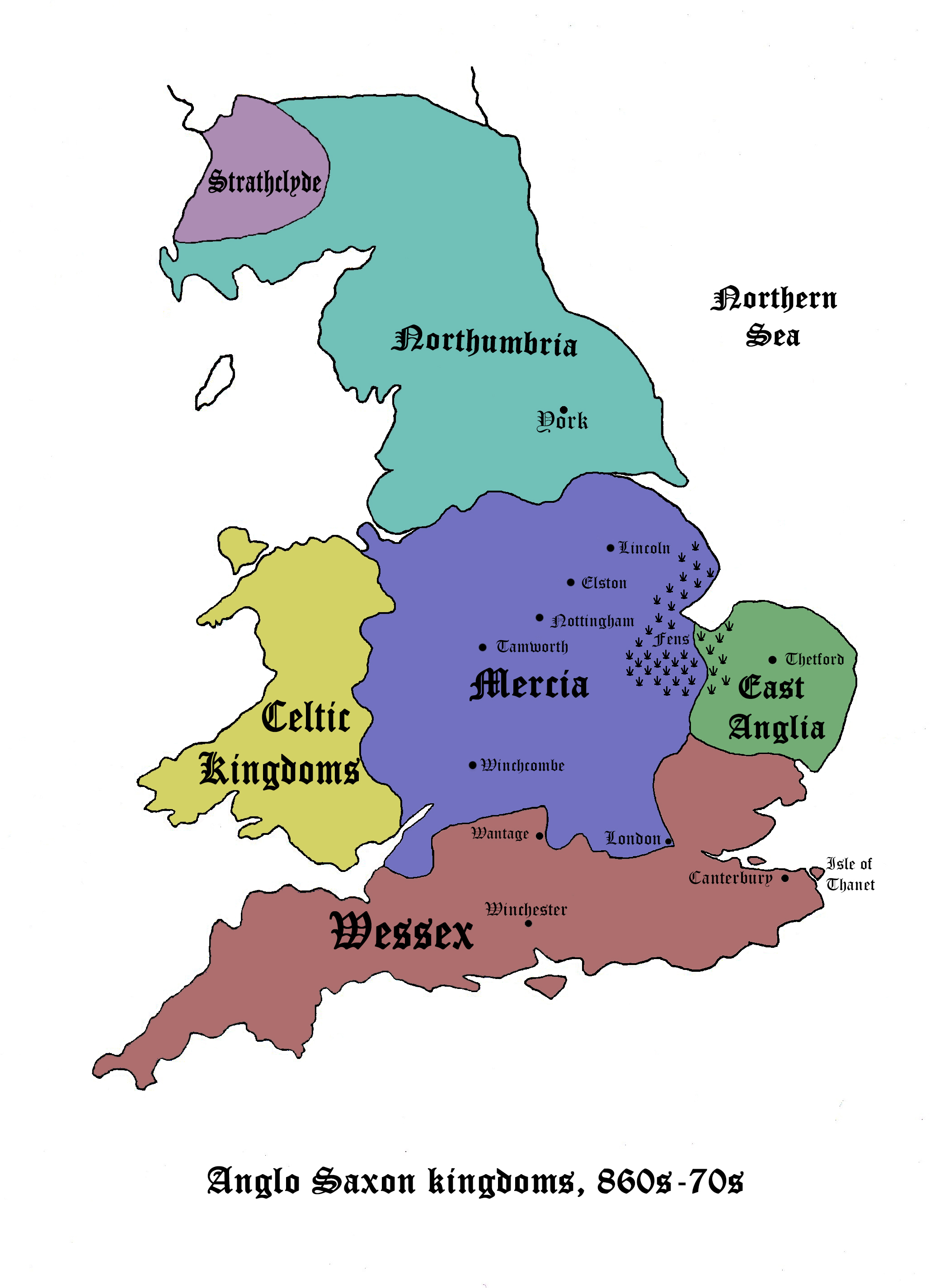
Readers of both fantasy and historical fiction novels rely on maps to allow them to visualise the areas in which the story is set. In historical fiction, we may be dealing with no longer existent territories or kingdoms, such as the Anglo-Saxon kingdoms in my books. In fantasy, there may be entirely new worlds created.
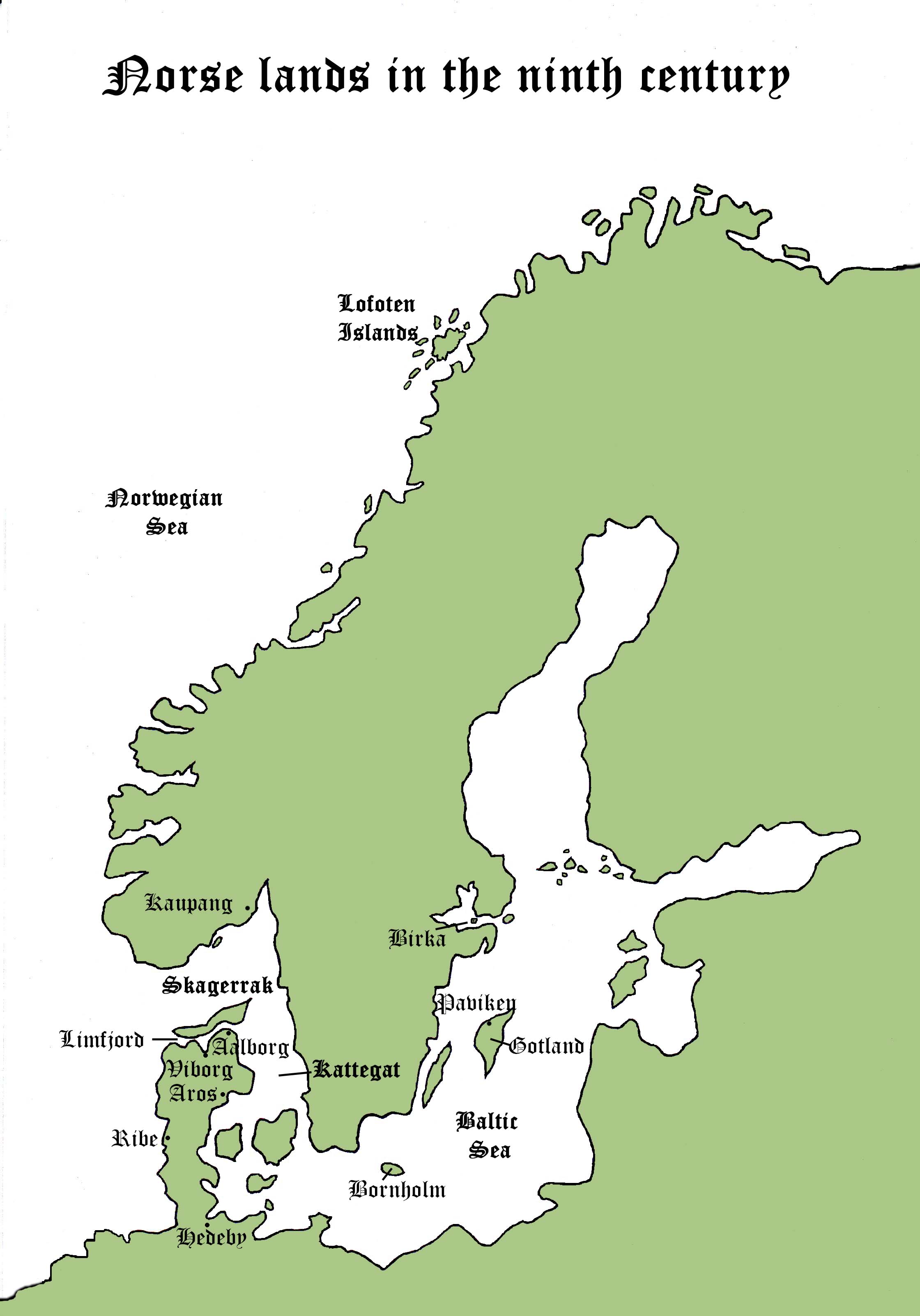
With more than a little help from one of my daughters, my two books now have two maps apiece. In Book 1, much of the action takes place in the various Norse/Viking lands, and I knew that few readers would know where most of the places were.
I chose to keep them as simple as possible and just pinpoint the key places visited in the stories.
These two maps are from Book One, Shadow of the Raven:

The next two are from Book Two, Pit of Vipers:
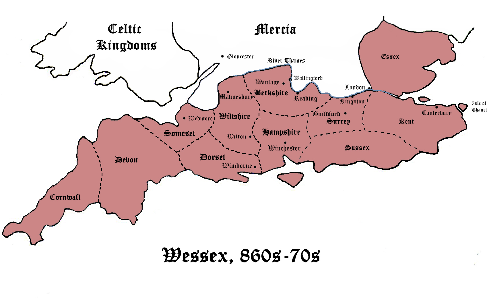 I’ve deliberately made these maps very large to make them readable. On the Kindle they’re much smaller but, of course, they can easily be enlarged. Any comments or suggestions about them (preferably constructive!) would be gratefully received.
